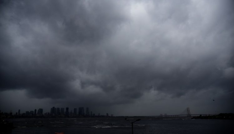
Southwest Monsoon has further advanced into some more parts of north Arabian Sea, most parts of Gujarat region, some parts Saurashtra, southeast Rajasthan, some more parts of Madhya Pradesh & Uttar Pradesh today
Ten News Network
According to the National Weather Forecasting Centre of the India Meteorological Department (IMD):
(Friday 18 June 2021, Time of Issue: 1430 hours IST; Based on 0830 hours IST Observations)
All India Weather Inference (MIDDAY)
- Southwest Monsoon has further advanced into some more parts of north Arabian Sea, most parts of Gujarat region, some parts Saurashtra, southeast Rajasthan and some more parts of Madhya Pradesh and Uttar Pradesh today, the 18th June
- The Northern Limit of Monsoon (NLM) now passes through lat. 21.5°N/ Long. 60°E, Junagarh, Deesa, Guna, Kanpur, Meerut, Ambala and Amritsar.
- Conditions are favorable for further advance of southwest monsoon into remaining parts of north Arabian Sea and Gujarat state, some more parts of south Rajasthan, west Uttar Pradesh and remaining parts of Madhya Pradesh during next 24 hours.
- Under the influence cyclonic circulation over Gangetic West Bengal & neighbourhood, a Low pressure area has formed over Southwest Bihar & adjoining Southeast Uttar Pradesh with associated cyclonic circulation extends upto mid tropospheric
- The cyclonic circulation over East Uttar Pradesh & neighbourhood extends upto 3.1 km above mean sea level has merged with the above
- The trough now runs from West Rajasthan to northeast Bay of Bengal across south Haryana, Center of low pressure area over southwest Bihar and adjoining southeast Uttar Pradesh, Jharkhand and Gangetic West Bengal and extends upto 9 km above mean sea level.
- A cyclonic circulation lies over south Bangladesh & neighbourhood between 3.1 km & 5.8 km above mean sea
- The off shore trough at mean sea level from south Gujarat coast to north Kerala coast now runs from south Maharashtra Coast to Kerala
- The Western Disturbance as a trough in mid & upper tropospheric westerlies with its axis at 5.8 km above mean sea level roughly along Long. 72°E to the north of 22°N persists.
- The cyclonic circulation over south Pakistan & neighbourhood persists and now extends upto 5.8 km above mean sea level tilting southwards with height.
- The cyclonic circulation over south Haryana & neighbourhood at 0.9 km above mean sea level now lies over north Rajasthan & neighbourhood.
Discover more from tennews.in: National News Portal
Subscribe to get the latest posts sent to your email.


